Real-Time Solar Panel Efficiency Analysis via UAV / Infrared Camera
Helped ship a two-UAV BVLOS system that surveys solar farms, identifies damaged or underperforming panels via FLIR thermal imaging, and flags them with physical markers for repair. 1-of-5 flight team · 2nd place at the Canadian national UAV competition · $5K prize · front-page Montreal Gazette feature I landed.
Background — MakeX Palo Alto (2016)
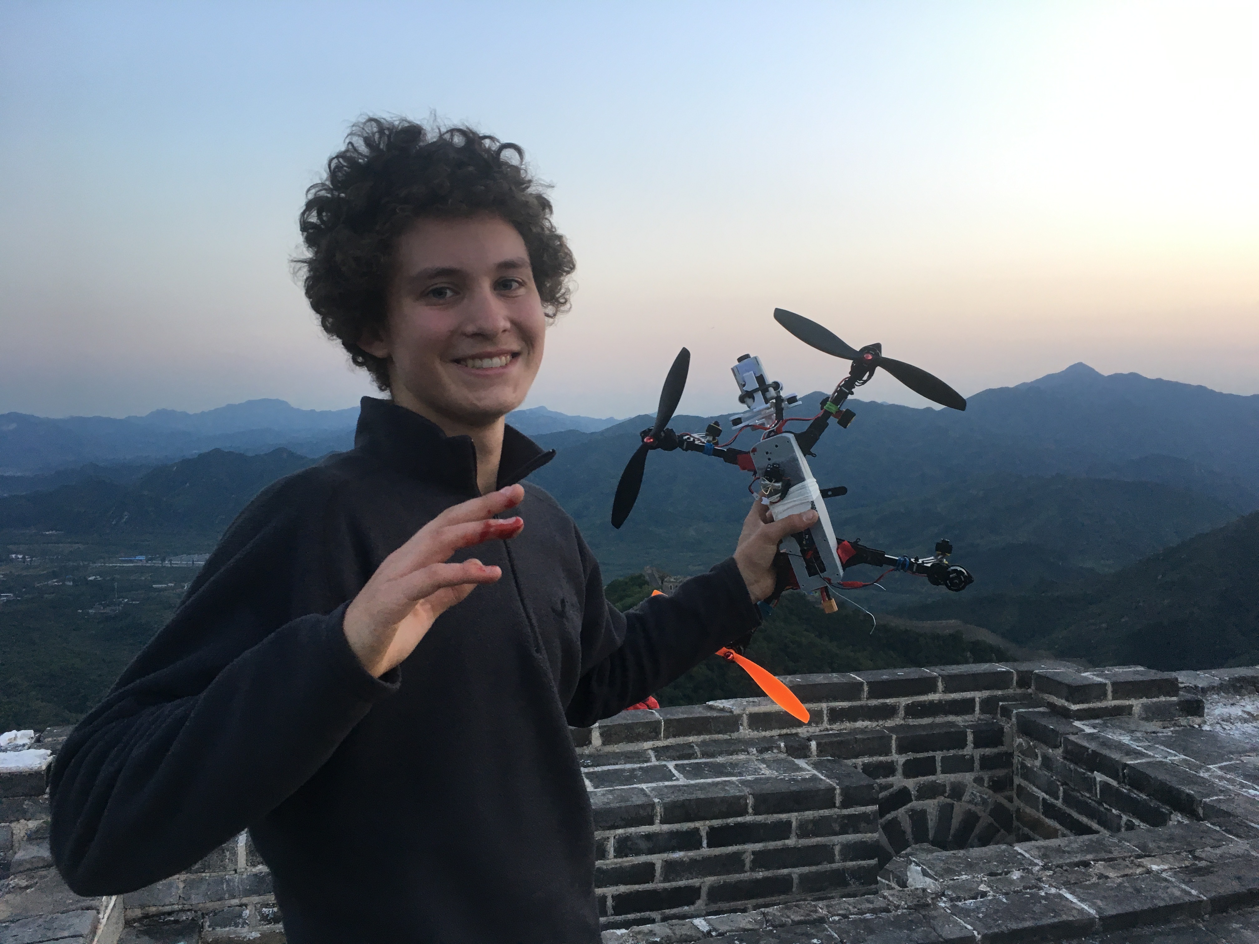
MakeX is where it all began. I built my first quadcopter from scratch at MakeX — the first student-led makerspace in the United States. While I was there I bought a stock Syma X8C — a $100 consumer quadcopter that notoriously lacked altitude hold — and figured out how to add it for $15 in parts. I filmed a tutorial on the mod. It's been up since and has 48K+ views.
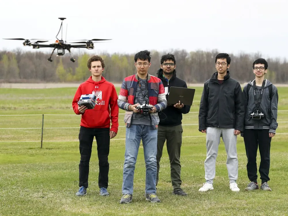
McGill AERO Drones (2017 – 2021)
Joined McGill's AERO Drones team in 2017 as VP of Marketing. Over four years I grew the team's visibility, recruitment, and narrative. I was also selected 1-of-5 to the competition flight team two years running.
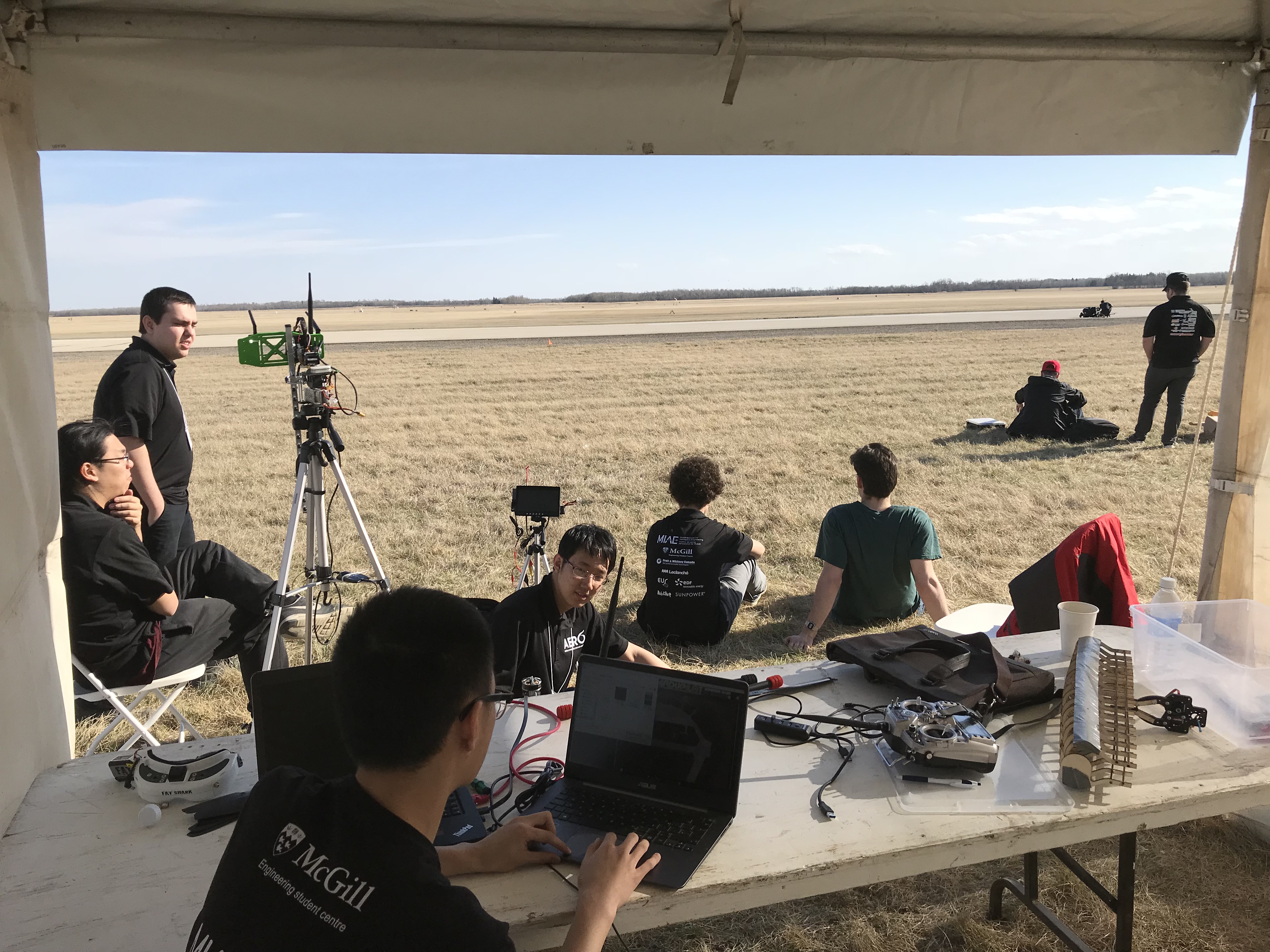
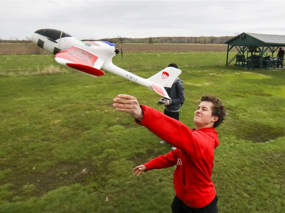
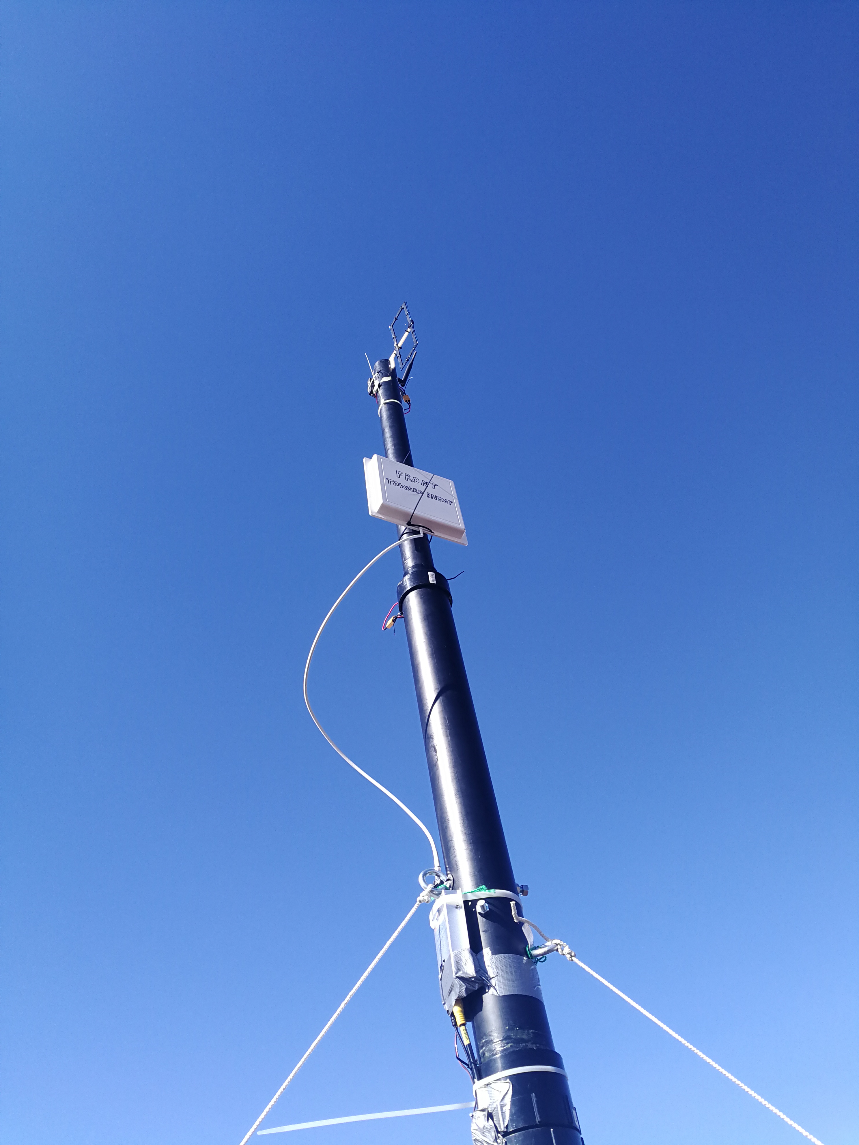
The team's 2019 entry was a real-time solar panel efficiency analysis system for the Unmanned Systems Canada Student UAS Competition. The challenge: autonomously survey a solar farm, identify damaged or underperforming panels using thermal imaging, and deliver a physical marker to flag each one for repair — all Beyond Visual Line of Sight (BVLOS). Two aircraft working together:
- →The Carrier: a Tarot X6 hexacopter with T-Motor MN5212 motors, Pixhawk 2.1 running Ardupilot, dual-precision GPS (standard + RTK), 8 kg payload, 1+ hour flight time, Sony A5000 DSLR on 3-axis gimbal
- →The Recce: a DAYA 550 quadcopter with FLIR infrared camera, used for low-altitude IR search
- →Ground Control: MAVProxy + Mission Planner GCS, with a custom VR-GCS dashboard on HTC Vive giving the Director of Flight Operations a holographic bird's-eye view of both aircraft
- →Mission payload: servo-driven marker dispenser, 20cm payload delivery turret, motorized winch for precise vertical positioning
- →Imagery pipeline: OpenDroneMap + OpenCV, 40m altitude survey covering 90,000 m² in under 10 minutes at 1 cm/pixel ground resolution
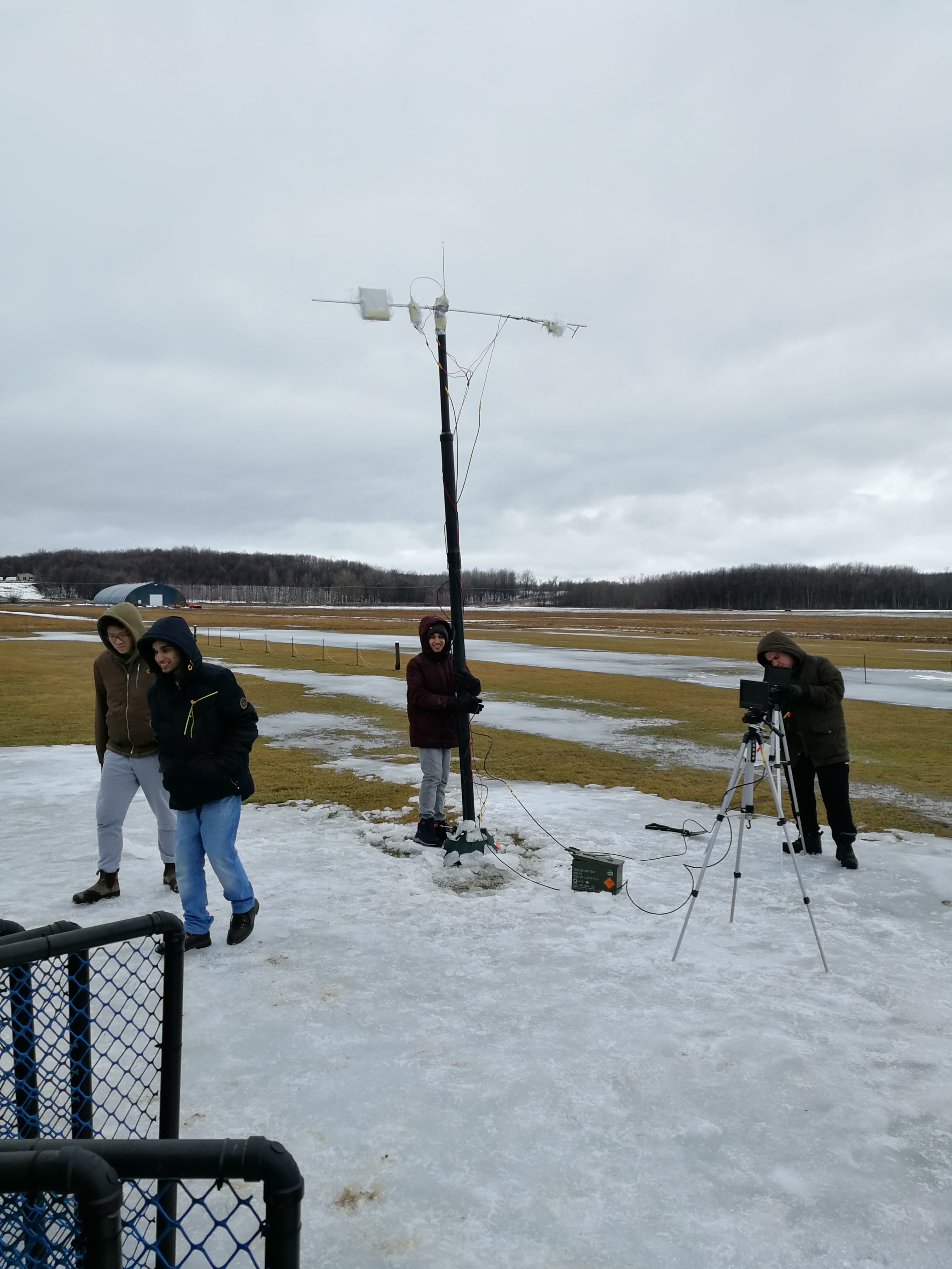

Montreal winters meant testing in snow, sub-zero temps, and wind. Good calibration for a competition flown in Southern Alberta in summer.
Results
- →🥈 2nd place — Unmanned Systems Canada 2019 Student UAS Competition
- →🏆 "Most Professional" award — $5,000 team prize
- →📰 Front-page Montreal Gazette feature I landed — boosted student applications 400%
The Full Engineering Paper
Want the engineering detail? The full 15-page design paper we submitted to the 2019 Unmanned Systems Canada Student UAS Competition is embedded below. Specs, CONOPS, BVLOS strategy, survey methodology, risk management, budget.
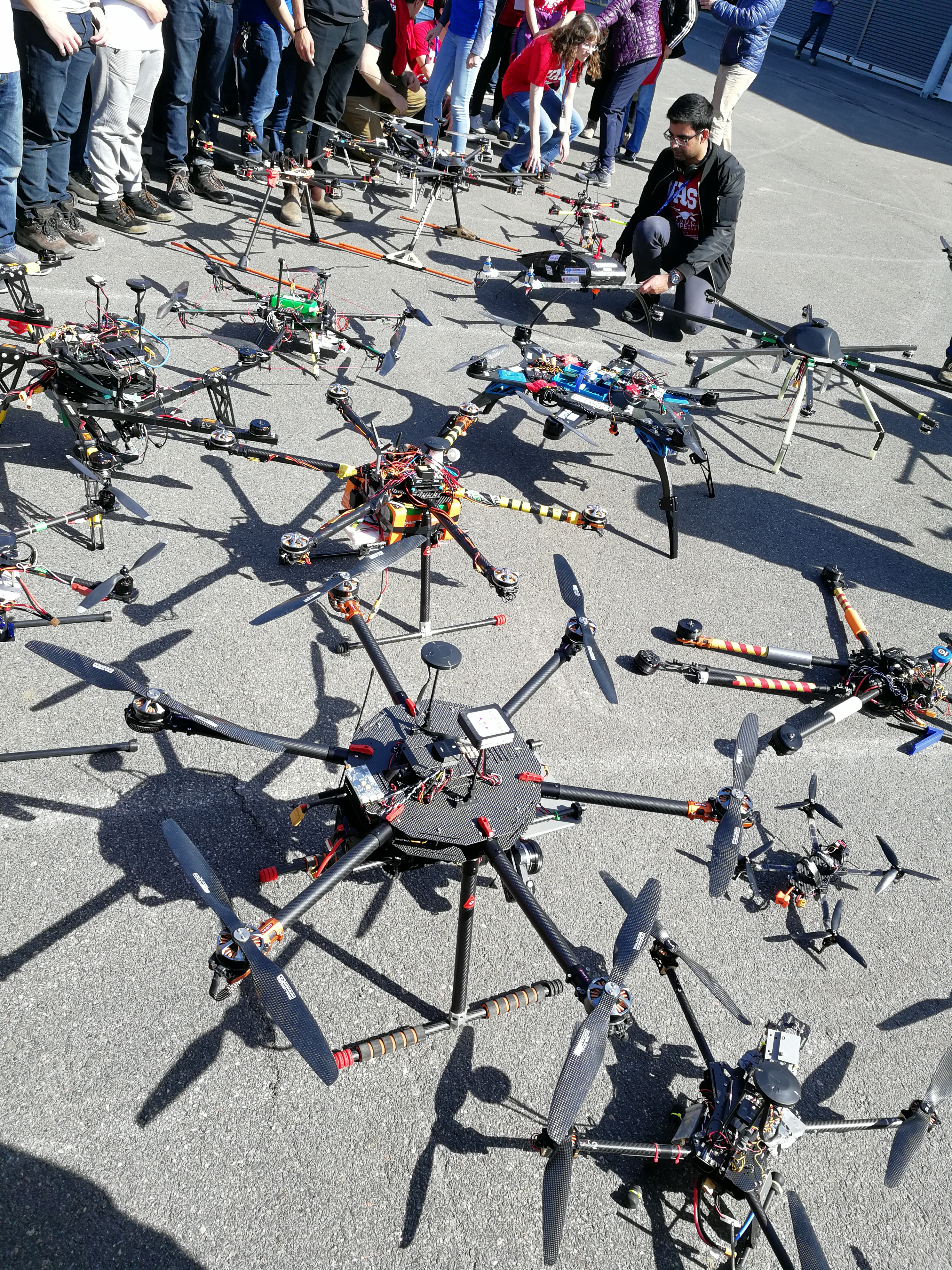
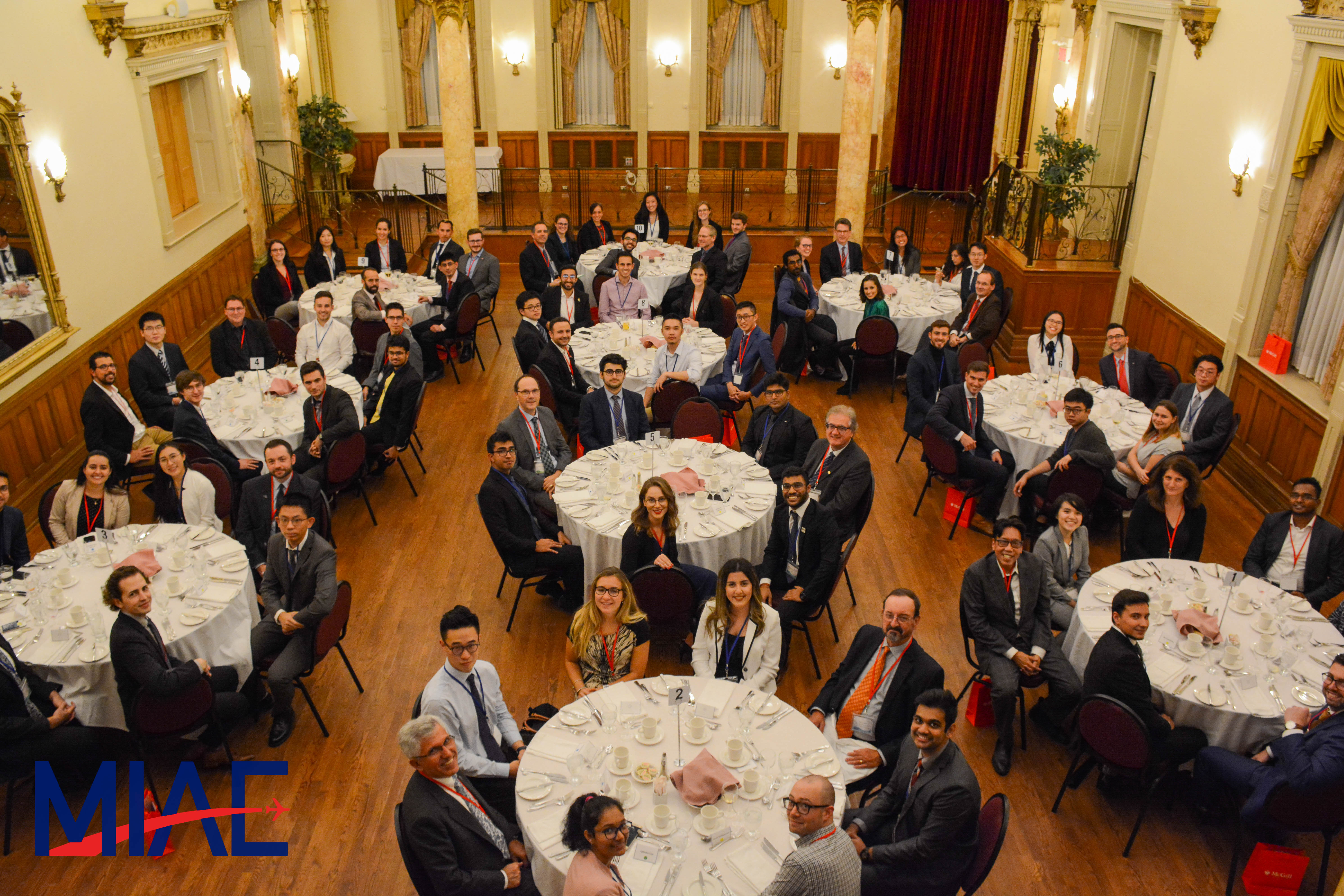
McGill Institute for Aerospace Engineering
The AERO work led into me becoming President of the McGill Institute for Aerospace Engineering (MIAE). The remit expanded from one engineering team to an entire undergraduate aerospace community.
Things we ran:
- →Industry dinner — 40 Montreal aerospace leaders paired 1-on-1 with 40 top McGill aerospace students (Fall 2019)
- →Facility tours at Bell Flight and Maxar — the creators of the Canadarm on the International Space Station
- →Software tutorials for aerospace-adjacent tooling
- →Interview prep workshops for students going into industry
- →An entire Aerospace Week — run remotely during COVID